4th Edition
Sale Price US$19.95
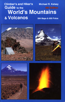
This all-new 4th Edition (the 1st Edition came out in 1981) has basically been rewritten & updated, this time on a computer! Since 1990 & the 3rd Edition, the author traveled to east & southern Africa and islands in the Indian Ocean; northeast Africa, Yeman & Oman; the Caribbean twice; Central America & Mexico; Philippines & Japan; Southeast Asia; Indonesian again; Central and South Pacific; Mexico, Canada, the Eastern USA & Alaska; and 2 summers in republics of the former USSR in Central Asia and Kavkazia (Caucasus), and Kamchatka, preparing & enlarging this book. He has now traveled to a total of 224 countries, republics, islands or island groups. This 4th Edition’s direction is more on climbing & guiding hikers to volcanos and histories of their eruptions. In this respect it’s the only book of it’s kind in the world.
Also for this 4th Edition, the author used a small library of then-recently-published travel, hiking and climbing guidebooks to update this edition, especially regarding new information on climbs he made in the 1970’s, or earlier. In the North American part, he telefoned all national parks & national forest offices for the latest situation as well. Also included is a list of publishers & distributors of maps & guidebooks, and tele, fax, websites & email addresses.
1248 pages, 584 maps, 650 B+W fotos, perfect bound, water repellent color cover, 14 cms x 21 cms (5 1/2” x 8 1/2”) format, 5 cms (2 inches) thick. ISBN 0-944510-18-3.
Attention Everyone: I have a storeroom that’s full and I need more space. Therefore, I need to move these World Guides, so I’m reducing the price! Please Help! One day these will be collectors items because a book like this will never be publish again in the history of the World! MRK
The New Price is now $19.95 (Mail orders sent to Author $23)
—————————————————————————————————————————————————————————
Recently, the editors of Utah Valley Magazine were asking for some pictures of yours truly for a story they were doing which highlighted several notable mountain climbers living in Utah Valley. So while reminishing, he thought about some fotos of one of his better climbs. That solo climb in August, 1975, was to Masherbrum, the 26th highest peak in the world. Masherbrum is found in the Himalayas of northern Pakistan east of Skardu, the normal starting point for expeditions going to such famous mountains as K-2 and Broad Peak. That adventure was later featured in Iwa to Yuki (Ice and Rock), a Japanese climbing magazine for August, 1977, No. 56. A similar account appeared in Climbing magazine for March/April 1978, No. 47. The title to both was, Alone to Masherbrum! More information about how to get to Masherbrum is told in this book, Climber’s and Hiker’s Guide to the World’s Mountains & Volcanos. When the fotos were found, the first thing that stood out above all else, was this writers long, wavy, thick and gorgeous hair! Oh my, what a difference 37 years makes–from age 32 to 69! Here then are several pictures of Michael R. Kelsey from his solo expedition to Masherbrum in August, 1975.
To enlarge pictures, click once or twice
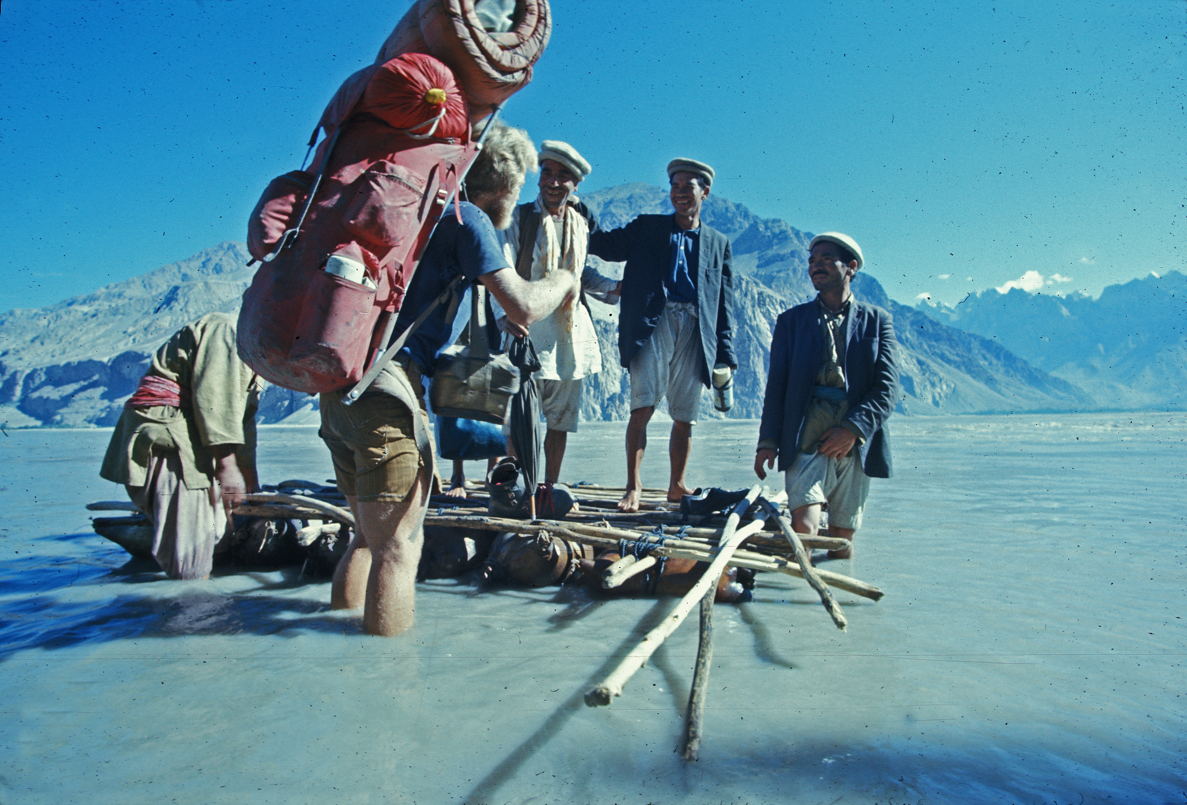
The picture shows the author boarding a Zuk, a boat made from inflated animal skins and some simple poles. The boatmen, called mohan, took this writer across the Shayok River. Masherbrum is in the background someplace.
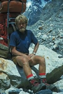
This picture was taken on the lower part of the main glacier near his first mountain camp at around 4000 meters. Oh, look at all that hair! And no hat at this point, and no protection from the sun–but when you’re young, who cares!
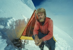
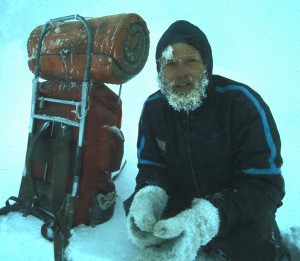
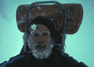
This picture was taken at the highest camp, Camp 6 at about 7300 meters altitude. It was nice weather to start, and this was the good weather period when Rhinhold Messner and Tony Hibler were on Gasherbrum I about 20 kms away. They reached the top and got down, then bad weather came. The same bad weather ended this writer’s big dream of knocking off the 26th highest peak in the world, solo.
Looks cold, but it wasn’t really that bad. At the end of that day, the weather actually got better.
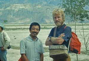
At the end of the Masherbrum trip, a number of expeditions from all over the world congregated & camped at the Skardu Airport waiting for the weather to break so planes could land. At that time, the road wasn’t open to vehicle traffic so flying was the only option. We were all camping, and drinking water from a small stream! At that time, there were no buildings what-so-ever at Skardu’s airport, and we had to walk or hitch hike on tractors into town about every other day to buy food and supplies. This writer and friend Mitsuo Hiroshima both waited 14 days for a Pakistani Airforce C-130 cargo plane to land and fly out about a dozen groups of climbers. Think about this the next time you have to wait for a delayed flight!
